Monitoring permafrost slides to protect highways
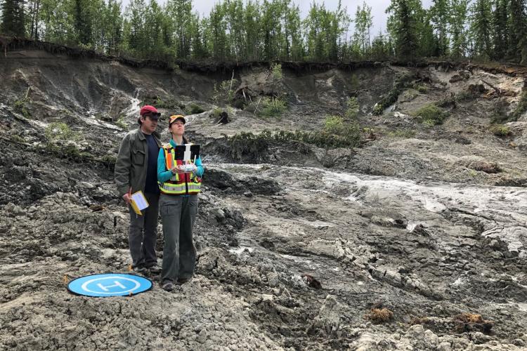
Researchers are monitoring a permafrost slide near the Alaska Highway caused by riverbank erosion. Since 2019, Dr. Fabrice Calmels, Louis-Philippe Roy and Cyrielle Laurent spend the summer measuring its progression.
Satellite images show that the slide has been active since 2014. Using drone images, they map the evolution of the permafrost landslide. These maps show the rate of erosion and identify the failure process which helps to determine when the highway could be impacted.
Calmels and his team will use their data along with precipitation and ground temperature records to better understand the permafrost degradation process. They are developing an alarm system at other sites around Yukon. The alarm will be made up of sensors connected to a satellite link that will trigger when infrastructure is at risk. Such a system would help to alert us when infrastructure is at risk of failure.
Dr. Fabrice Calmels leads this research as the Chair in permafrost and geoscience at the YukonU Research Centre.