Permafrost thaw sensitivity mapping in the Whitehorse greater area
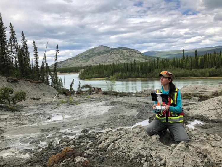
Our GIS technician with YukonU's Permafrost and Geoscience research team, Cyrielle Laurent, is presenting "Permafrost thaw sensitivity mapping in the Whitehorse greater area" at the ArcticNet Annual Scientific Meeting. The sessions are FREE for all Northerners - email arcticnet@arcticnet.ulaval.ca for the code.
"Climate change is greatly impacting our environment, especially in northern Canada where temperatures have been increasing faster than in other part of the planet. Climate warming triggers changes affecting the landscape that have an important impact on our communities and infrastructure. Permafrost degradation is a significant cause for these changes as it impacts the ground and surface conditions as well as the vegetation. Whitehorse is located in the sporadic discontinuous permafrost zone where permafrost underlies 10 to 50% of the ground surface. When ice-rich permafrost thaws, the surrounding ground may settle and/or lose strength, and the resulting ground movement may damage infrastructure such as roads and buildings.
This project allowed to monitor and characterize permafrost using geophysical surveys, drilling, and borehole instrumentations such as temperature sensors, and then extrapolate the results in order to produce a thaw sensitivity map for the Greater Whitehorse Area (GWA). The permafrost thaw sensitivity map shows areas classified into four levels of sensitivity to disturbance related to permafrost thaw that indicate a relative likelihood of developing ground surface disturbance (i.e. settlement or landslides) following permafrost thaw. The sensitivity map was built using field observations, surficial deposit maps, vegetation data, and slope orientation and steepness characteristics.
In a fast-growing community like Whitehorse, it is important to acquire tools to help guide decision making regarding future construction sites as well as existing infrastructure. Although a permafrost map cannot replace discrete geophysical assessments, it helps to inform and address a community’s goal of incorporating climate change adaptation planning into decision and community development."