 With funding support from Yukon Government, and Public Safety Canada, and with the assistance of Tr’ondëk Hwëch’in Government and Vuntut Gwichin Government, this project has surveyed key infrastructure, assessed exposure to floods of different return periods, and identified measures that could help minimize the impact of future flooding.
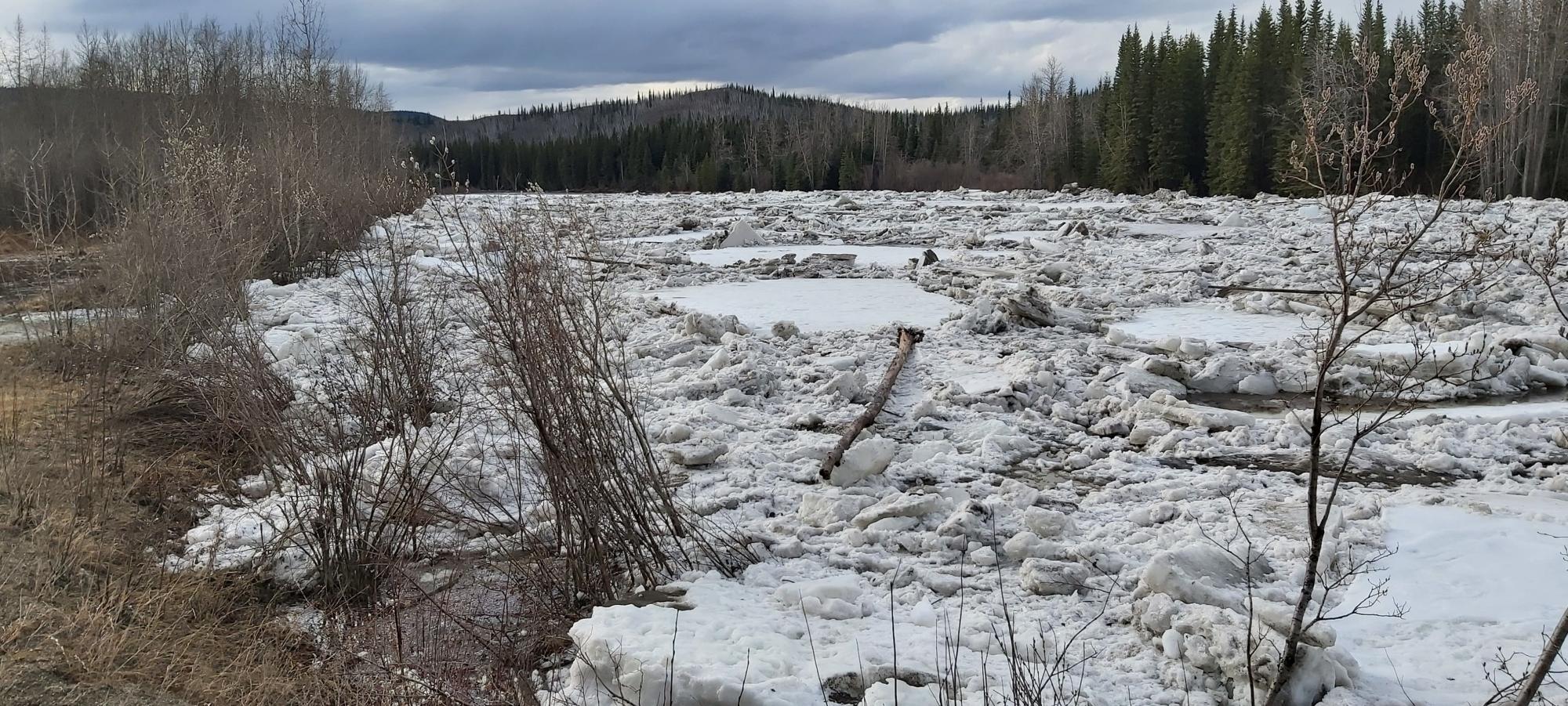
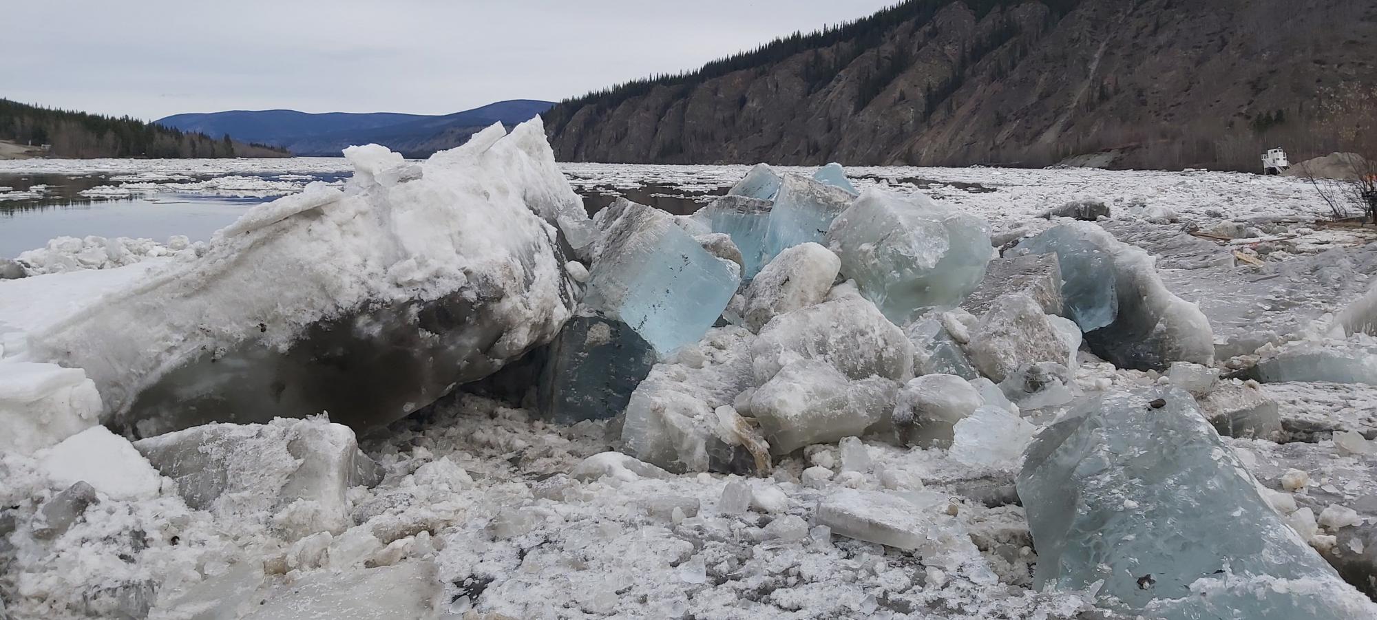 In river systems, floods represent a natural hydrological process caused by high runoff rates (mostly from snowmelt, glacier melt, and rain) or by river ice. Floods can be influenced by human actions, directly through channel modifications and in-channel structures, or indirectly through climate change. Each year, floods affect Canadians to different extents. In Yukon, most communities are situated next to water bodies (lakes or rivers) with different levels of exposure to spring and summer high water levels. Some of them are increasingly exposed to floods as the climate continues to change. Major floods in Yukon have been reported in recent years, including in 1991, 2007, 2012, 2013, 2016 and 2021.
Old Crow and Dawson are two of the communities with the highest risk of flooding (either because of frequent high water levels, or because of the significant damage potential). Old Crow is exposed to spring floods from the Ch'oodeenjìk (Porcupine River) whereas downtown Dawson and the Tr’ondëk subdivision are respectively exposed to ice jams floods from the Tágà Shäw (Yukon River) and Tr’ondëk (Klondike River). This research effort was therefore initiated for these two communities. 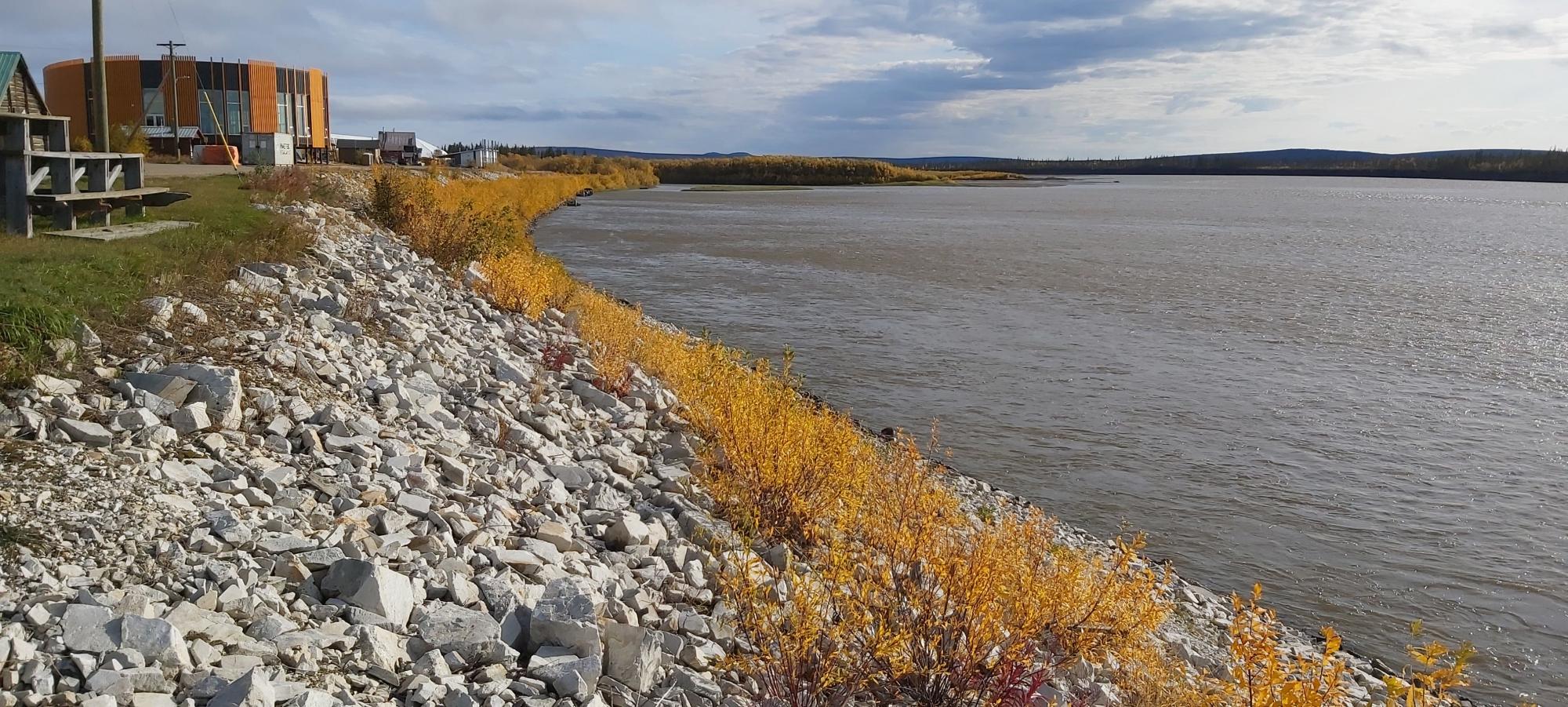
Through the collection of first floor elevations as well as state-of-the-art flood maps, the level of exposure of critical buildings and community assets was determined. Field observations and flood simulations also informed adaptation strategies targeting a modification to existing protection assets as well as new proposed measures. The impact of climate change on the frequency (or probability) of floods was assessed but could be further investigated through forthcoming research projects.
This study started in May 2021 and ended in March 2022, and involved field work (measurements and observations), the analysis of historical hydrological data and photographs, as well as computer simulations using GIS programs.
Technical Lead:
- Benoit Turcotte, Senior Research Professional – Hydrology, Climate Change Research
- Stephanie Saal, Research Professional – GIS, Climate Change Research
Project coordination:
- Maciej Stetkiewicz, Project Coordinator, Climate Change Research
- Brian Horton, Manager, Climate Change Research
The team is thankful for the opportunity to work on flood risk assessment and mitigation and would like to acknowledge the support provided by:
- Rick Kent, Manager, Infrastructure Development Branch, Department of Community Services, Yukon Government
- Gareth Earl, Senior Project Manager, Infrastructure Development Branch, Department of Community Services, Yukon Government