Digging into the Yukon’s earthquake hazards
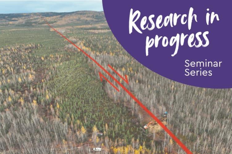
The Yukon is a seismically active region. Some earthquakes, like the Dec 6, 2025, magnitude 7.0 event, are widely felt. But these contemporary earthquakes do not tell the whole story. New remote sensing data have drawn attention to major geological fault lines that show evidence of having ruptured in large earthquakes in recent geologic time.
By digging into these faults, we can piece together a longer history of earthquakes than is available from modern records. These "paleoseismic" records help us determine which faults are capable of producing large earthquakes, how frequently they are expected to rupture, and where the strongest shaking may occur. This information contributes to seismic hazard assessments and can inform building codes and other standards that protect humans and the environment.
Theron Finley, PhD, surficial geologist with the Yukon Geological Survey researches active faults in the Yukon using remote sensing, tectonic geomorphology and paleoseismology.
Co-hosted by YukonU and Yukon Science Institute
Talks are open and free to the public, students, staff and faculty.
Cookies and coffee will be served.
Questions? Contact The Research Services Office at rso@yukonu.ca